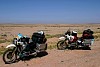
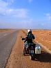
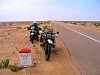
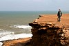
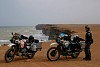
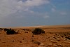
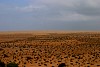
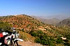
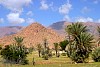
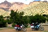
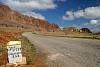
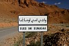
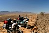
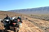
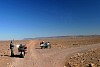
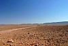
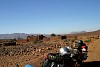
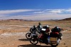
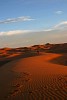
East of Sidi Ifni, the start of the Moroccan desert. Entrance to Tan Tan South of Tan Tan plage, direction Western Sahara Sign going south, shows the distance to Laguira on the border to Mauritanien, and the southern most point in Western Sahara Along the coast south of Tan Tan Plage Along the coast south of Tan Tan Plage Along the coast south of Tan Tan Plage Coastal dunes south of Tan Tan Plage Between Tiznit and Tata Between Tiznit and Tata At the entrance of Tafroute, heading toward Tata On the outskirts of Tafroute, toward Tata South of Irherm North of Tata Piste between Foum Zguid and Zagora (N12, national road) Piste between Foum Zguid and Zagora (N12, national road) Piste between Foum Zguid and Zagora (N12, national road), at Bou Rbia Piste between Foum Zguid and Zagora (N12, national road), at Bou Rbia Erg Chebbi, Merzuoga Erg Chebbi, Merzouga Erg Chebbi, Merzouga Between Zagora and Rissani Between Zagora and Rissani Erg Chebbi, Merzouga